An Caisteal & Beinn a Chroin Hike
|
|
Where: An Caisteal and Beinn a'Chroin
from 1 mile south of Crianlarich in central
Scotland
Height: 3,264ft, 995m An Caisteal .
3,090ft, 942m Beinn a Chroin
These Mountains have little Trail in
places, Wet Sections, and a few Scrambles,
so are normaly avoided by Tourist Hikers.
Waterproof Boots and Gaitors are needed
most of the year.
An Caisteal and Beinn a'Chroin are
situated just over 50 miles north of
Glasgow on the A82.
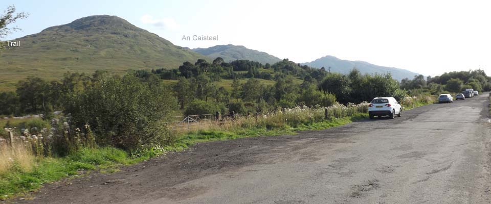
The image below is of the large Car Park
for the hike to An Caisteal and Beinn
a'Chroin next to the A82, just over 1 mile
south of Crianlarich. This is a large Car
Park that can hold many cars, about 400ft
above sea level.
Glasgow to
Crianlarich Road Map
|
|
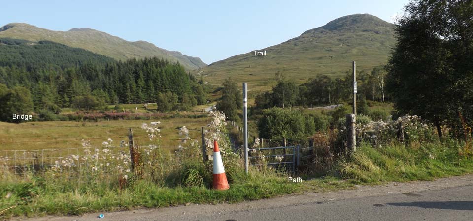
The image below is from the Car Park
looking down a new Path to the Railway
Bridge. This used to be a wet section
through the field.
The Mountain seen below is the 2,236ft
Sron Gharbh. An Caisteal and Beinn a'Chroin
are behind that Mountain, the Trail goes
over that Mountain first.
|
|
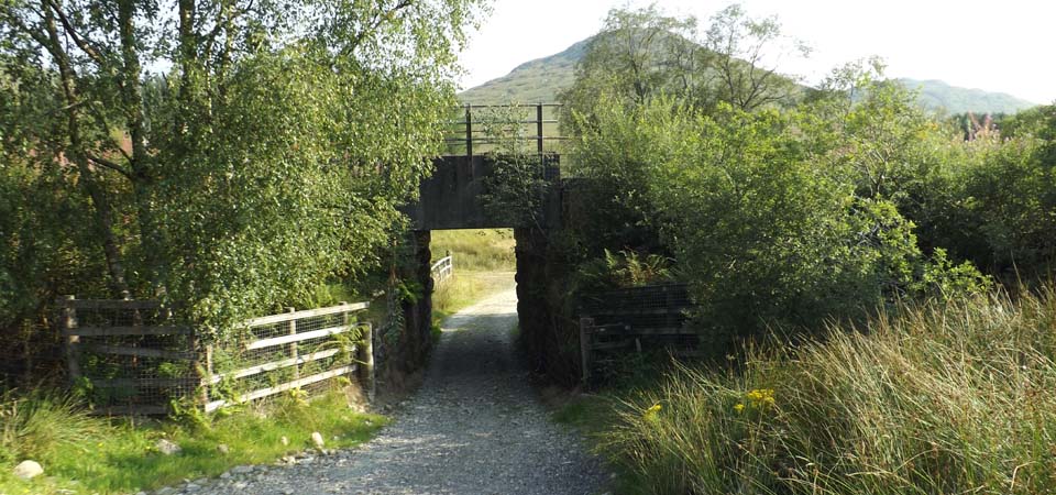
The image below is of the Railway Bridge
just down from the Car Park, follow the
Hill Road from here round over a Wooden
Bridge then up to the Mountains.
|
|
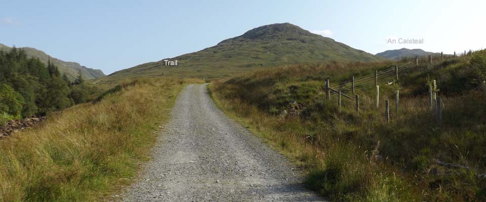
The Hill Road in the image below leads
right up through the Mountains, follow it
up till you see the Trail heading up Sron
Gharbh. This is getting a real popular Hike
in summer when it is less soggy, so there
should be a fairly good Trail to follow
now, although will be soggy in places in
the Rainy Season.
|
|
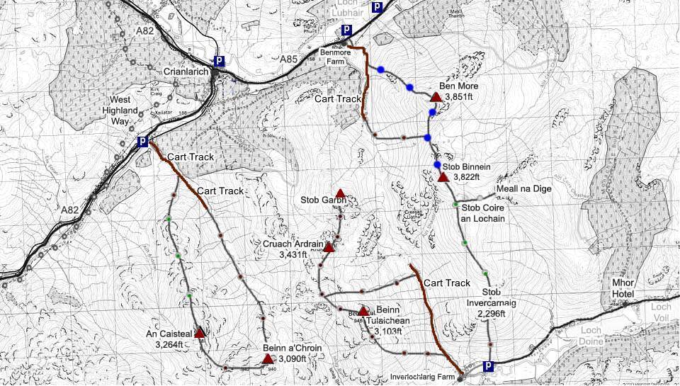
The Map below shows the main route onto
An Caisteal and Beinn a'Chroin by going
under the Railway Bridge, up the Old Road
so far, over Sron Gharbh, on to An
Caisteal, round to Beinn a'Chroin, then
down off Beinn a'Chroin to the Old Road
back to the Car Park.
Make sure and take an Ordnance Survey
Map and Compass on these Hikes, and know
how to use them, as in Cloud, these
Mountains can be deadly. In Winter, make
sure you have Crampons and an Ice Axe, and
know how to use them.
Crianlarich
Map . Hill Walking OS
Map
An Caisteal
Photo Tour to the Top
Crianlarich Photo Tour
|
|
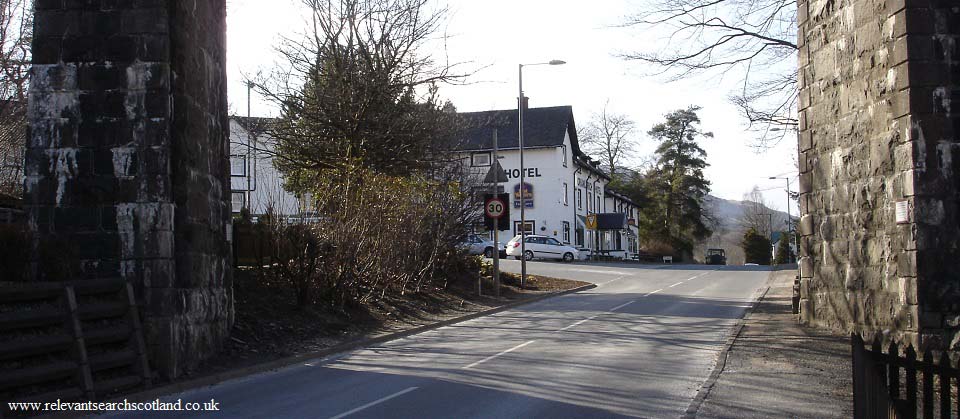
The image below is of the Crianlarich
Hotel from the railway viaduct, just
over one mile north of the hiking car park.
The hotel is ideally situated for hiking a
number of Munro's.
Beinglas Farm
Campsite is situated about 5 miles
south of the An Caisteal car park, and the
Drovers Inn
is situated a few hundred yards south of
the Campsite. Beinglas Farm
Map.
|
|
|
