|
The 1,975ft, 602m Craignelder is
situated in a remote area in the Galloway
Forest Park, next to the A712 road that
runs between the towns of New
Galloway and Newton
Stewart, southwest Scotland, in the
county of Dumfries & Galloway, about 40
miles southeast of Ayr. This road is known
as The Queen's Way.
The Queen's Way has a number of
interesting attractions such as:
Clatteringshaws Visitor Centre with a
Bruce's Stone marking a battle site, large
dam, forest road with the otter pools, deer
park, goat park, platform out over a glen,
many biking trails, and many walking and
hiking routes.
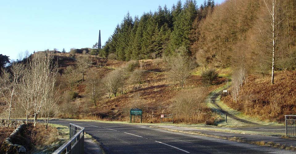
The image below is of Murray's Monument
situated about 5 miles west of the Clatteringshaws Visitor
Centre on the A712 Queen's Way road.
One of the car parks for the monument, and
the hike to Craignelder, is just to the
right in this image.
Murray’s Monument was erected in
1835 in memory of Alexander Murray, a local
shepherd boy who later became Professor of
Oriental Languages at Edinburgh University.
The monument is situated on a 597 ft hill,
a steeper hike than it looks. More
Information.
For this hike, you can park here at the
monument east side car park by the
waterfalls, hike over the monument hill,
and down to a smaller car park on the west
side of the monument.
Google Road Map
Directions
|
|
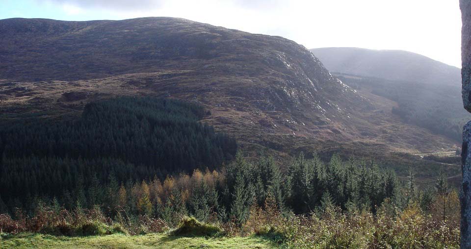
The image below is from Murray's
Monument looking south to Craignelder hill.
You can see the forest road leading round
to the hill. I took this image a few weeks
earlier in November 2012, when there was no
snow on the top of Craignelder. The rest of
the images were taken in December 2012.
You can follow a trail from just below
the monument, round and down the west side
into the forest. That trail then leads down
to a smaller car park, by the forest road
over to Craignelder.
|
|
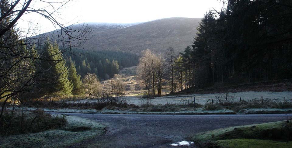
The image below is from the smaller car
park on the west side of Murray's Monument.
The forest road to Craignelder is just
across the road from here, to the left. I
parked in this car park as I had visited
the monument a few weeks earlier. When I
saw the rocky Craignelder from the
monument, I had to return for the hike to
the top.
|
|
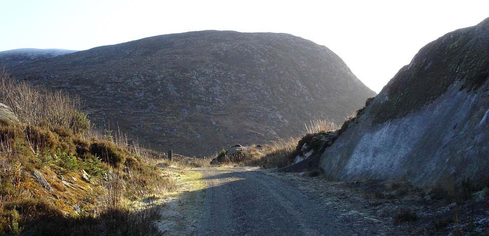
The image below is of the forest road
leading round to Craignelder. It is a short
walk of about half of a mile from the car
park.
|
|
The wide image below shows the route
onto Craignelder's northwest ridge. The
first 100 yards is cleared woodland, so is
rough going passing a few large boulders.
Once over the stone dyke, the lower part of
the hill was deep heather and ferns, so I
tried going straight up the cliffs via a
narrow gully. At almost the top, I hit a
granite rock face. The only way from there
was along a 20 ft long ledge, that was
about three feet wide. It looked like the
other side of the ledge had a route to the
top.
The ledge sloped down and away from the
rock face, and had a good inch of ice on
it. The wider ledge about 30 feet below,
was littered with boulders. The slippery
granite meant it was back down the narrow
gully, then round and up the northwest
ridge, the way I had originally planned
anyway.
|

|
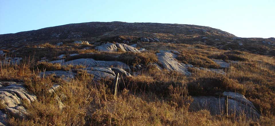
The image below is after hiking round
and looking up the northwest ridge. I
looked for other ways up on the road round
as the cliffs were getting lower, but ended
up going right along close to the bottom,
as there was no clear route up without
hitting more un-passable cliffs.
This showed the cliffs here had to be
avoided on the road back down. Even though
it looked like it would be clear all day, I
took a compass reading, and paid attention
to the rout back down. I should have laid a
marker where I began hiking up, so I would
have known when it was safe to start hiking
back round to the road on the way back
down.
|
|
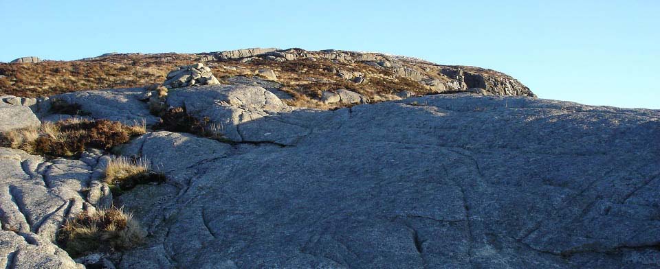
The image below is from the first cairn
on the northwest ridge, close to the
cliffs. Most of the way up to this cairn
was tough going, with no trails of any kind
most of the way. It was a matter of trying
to follow the rocky ridges up. Off the
rocks was deep heather and tussocks.
|
|
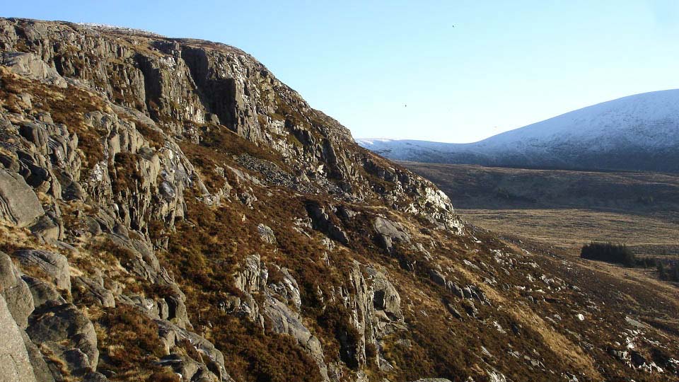
The image below is from the first cairn
to the highest cliffs on the west side of
Craignelder.
Large
Image.
|
|
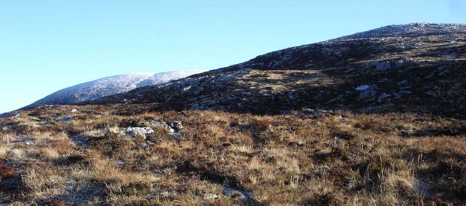
The image below of the route up past the
cliffs to the summit.
|
|
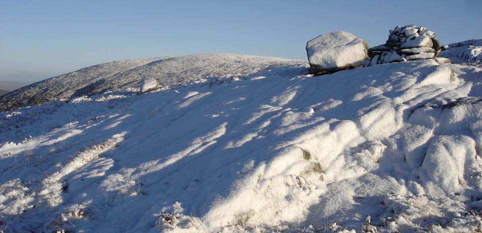
The image below is of a large rock and
second cairn close to the summit, a good
marker for the way back down. There were
faint trails from the first cairn to the
top, making the hiking a lot easier than
below the first cairn.
|
|
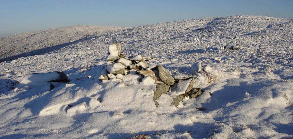
The image below is of a third cairn,
close to the top of Craignelder. There are
two tops here, the first is Craignelder,
and the second, according to the OS Map, is
Millfore. Both tops are about the same
height.
There is another Millfore at 2,152 ft,
just north of Murray's Monument. That
Millfore can be hiked from the same car
park, by going north past the Black
Loch.
|
|
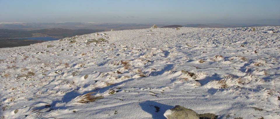
The image below is approaching the main
cairn on the summit, that is on the east
side, the one named Millfore by the OS Map.
.
|
|
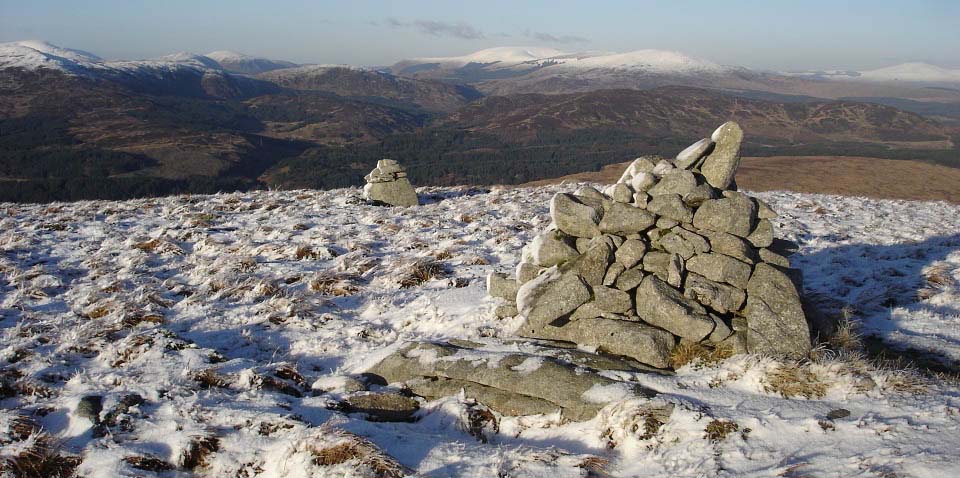
The image below is from the summit cairn
looking northeast to the Rhinns of Kells
range, with the first hill being the 2,457
ft Meikle Millyea, and behind that, the
2,671 ft Corserine. Top left in this image
is the other Millfore across the valley,
and the 2,766 ft Merrick can be seen behind
that.
|
|
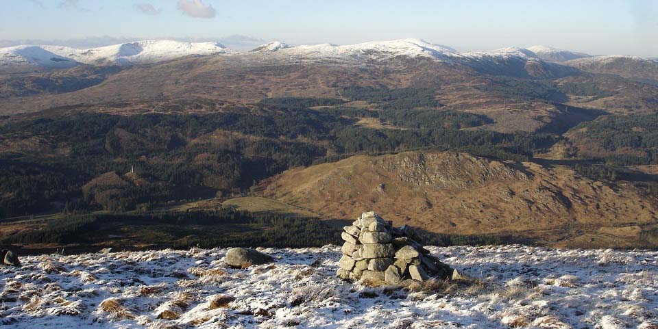
The image below is from another cairn,
about 100 yards north of the main cairn.
This cairn gives great views to Murray's
Monument, and the rocky Craigdews Goat Park
next to the monument.
The mountains above the monument are
from high left, Larg, Lamachan, Curleywee
and Millfore. Behind Millfore is the
Merrick. Just right of the Merrick is
Mullwarchar, with Dungeon and Craignaw just
in front of that.
Large
Image.
|
|
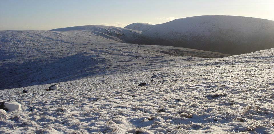
The image below is is from the south
side of Craignelder, looking south to the
Cairnsmore of Fleet range. This seems to be
a popular route by getting dropped off at
Murray's Monument, hiking over Craignelder
here, over the hills seen below, then down
off Cairnsmore of Fleet to the hiking car
park at Cairnsmore House by Palnure, 4
miles south of Newton Stewart on the
A75.
That is 2,332 ft Cairnsmore of Fleet
right, the 2,007 ft Meikle Mulltaggart on
the route over, and the 2,155 ft Knee of
Cairnsmore in the distance. These are the
last of the 2,000 ft plus hills in the
south of the Galloway region. There are
about 30 hills between 2,000 ft and 2,766
ft in this area between Loch Doon and
Palnure, over a 26 mile area, all well
worth hiking. I watch the local weather
forcast, and the Internet
Satellight as some days the north hills
can be sunny, and the south cloudy, or the
other way about. Some days I have headed
for the north hills and seen better weather
south from the road in the car, so headed
for the south. The weather has a lot to do
with what order I hike the hills.
|
|
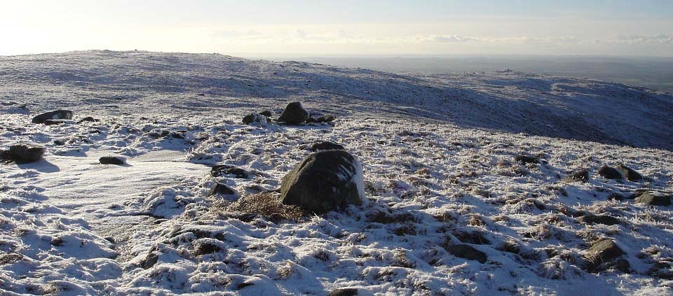
As I was parked at Murray's Monument, it
was back down the same route as I hiked up,
as seen below. The many cairns are good to
follow back down.
|
|
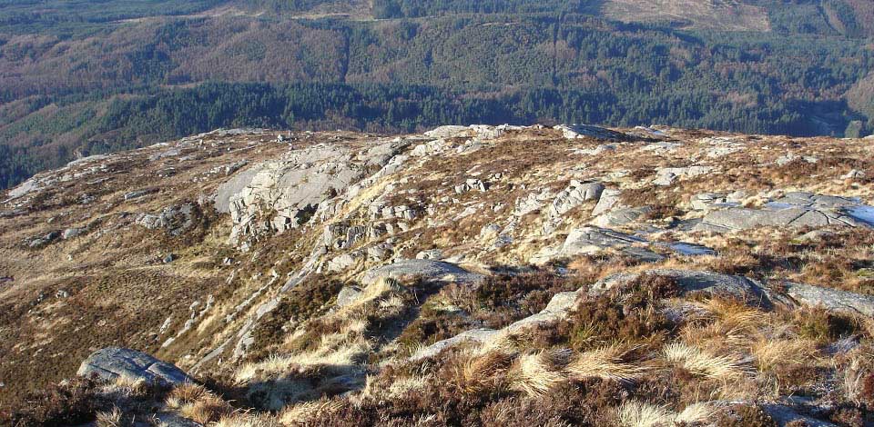
The image below is heading down to the
first cairn. There are cliffs all the way
down the west side here, so you have to be
careful. If it clouds over, you can head
down the right side of the ridge through
the heather, a lot safer route, although
through some deep heather.
|
|
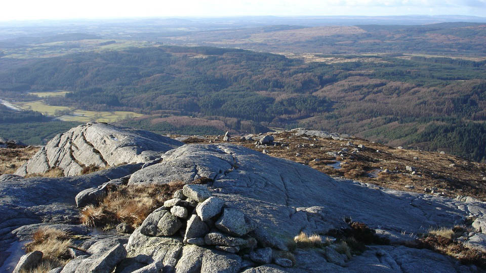
The image below is from the first cairn
looking west out over the Irish Sea. You
get great views from this cairn all
around.
|
|
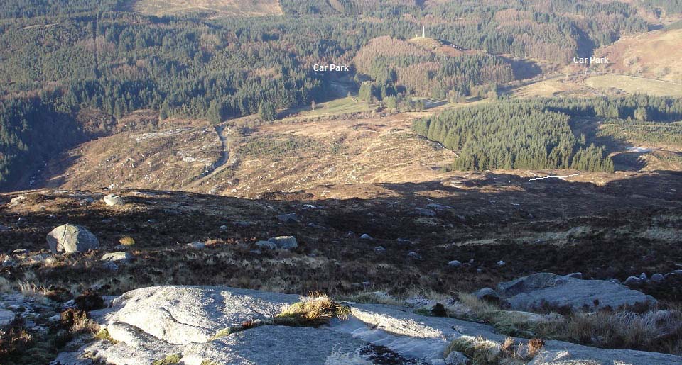
The image below is heading down the
northwest ridge. You can see the two car
parks at the monument, and the forest road
leading back to the west side car park.
All down the left here is cliffs. You
have to head for the trees down to the
right, then when below the cliffs, head
round to the left along below the cliffs.
If you turn left too early, you will get
stuck on top of cliffs.
I tried to follow the dyke down the side
of the woodland and round to the road. That
area is cleared woodland with rotten stumps
and branches sticking out of deep tussocks.
I had to head back and round to the road
the way I went up. Two wrong routes in the
one day.
|
|
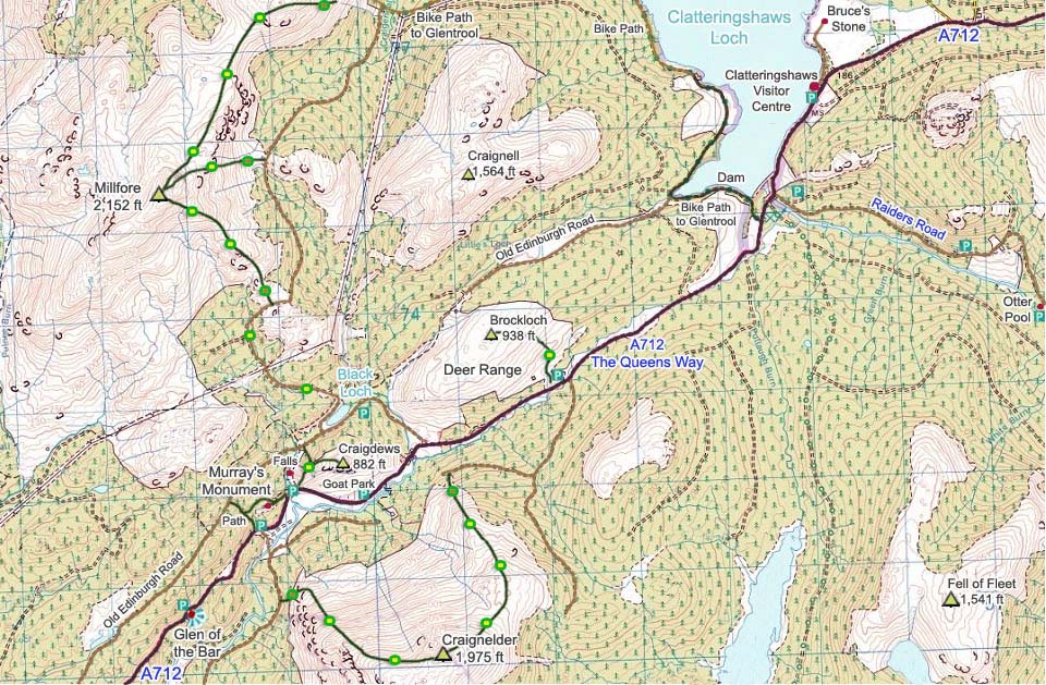
The Map below shows the attractions
along the A712 that is also known as The
Queens Way. The map also shows the hiking
routes onto the hills. Green and brown dots
are rough sections, green and yellow fairly
good trails. The photo tour above followed
the west side trail. The east route up from
the deer range car park is a fair bit
longer.
Google Road
Map . Change Newton Stewart to your
town or postcode to get driving
directions.
Large Click on
Hiking Map of this Area
Cairnsmore of
Fleet Photo Tour
|
|
The hike up Craignelder was tough going
up to the first cairn, through a lot of
ferns on the lower part, and deep heather
higher up. From the first cairn, up past
the cliffs, was better going with
interesting views. The route from the south
side, over to Cairnsmore of Fleet, looked
very interesting, probably my next hike
from Cairnsmore house. Will cross over the
whole range one day when I can be dropped
off and picked up, or with someone with
another car.
|
|
|

