|
Clatteringshaws is a remote area in the
Galloway Forest Park, next to the A712 road
that runs between the towns of New
Galloway and Newton
Stewart, southwest Scotland, in the
county of Dumfries & Galloway, 40 miles
southeast of Ayr. This road is known as The
Queen's Way.
The park has a number of walking and
hiking routes, monuments, deer park, goat
park, and a bike trail that runs from here
to Loch Trool, about 10 miles west.
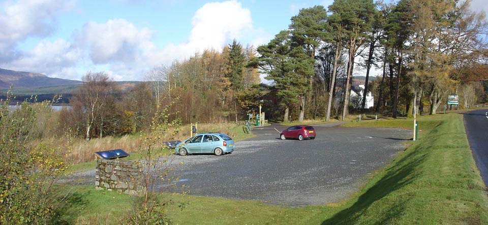
The image below is of the main car park
at Clatteringshaws Visitor Centre.
The car park area here gives information
on the dam and the areas attractions. Also
the skies, as this area is so remote, it is
classed as a dark skies area, ideal for
viewing the stars.
|
|
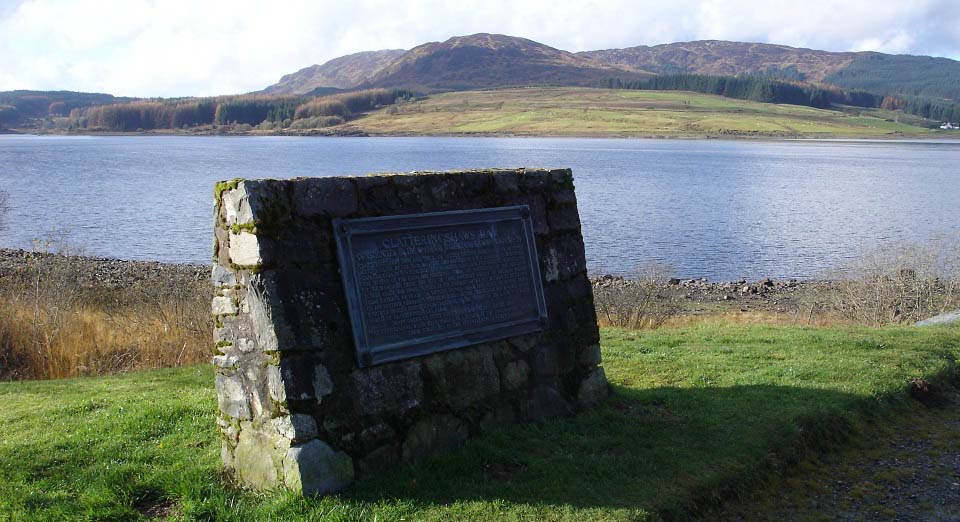
The image below is of a large plague at
the visitor centre car park giving
information on the dam. The dam at
Clatteringshaws Loch was built between 1929
and 1935 over the Black Water of Dee, to
create a power source for the Glenlee Power
Station. There is tunnel from here to the
Glenlee Power Station, that is three and a
half miles to the east. The tunnel leads
off from the opposite end of the loch from
the dam.
This is the largest hydro power set up
in the area. I have calculated the 12
MegaWatt Glenlee Power Station creates
enough power for the National Grid to power
about 12,000 homes. It can be turned on and
off when needed.
|
|
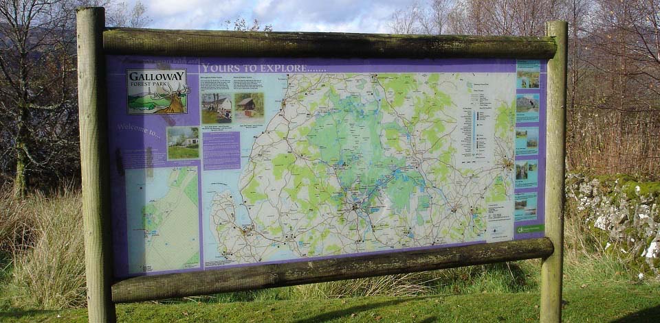
The image below is of the plaque at the
Visitor Centre. The plaque gives
information of trails, monuments and
visitor attractions in the area.
|
|
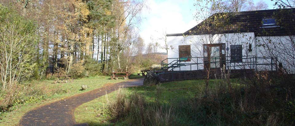
The image below shows the
Clatteringshaws Visitor Centre that has a
tea room, and many leaflets for the area.
The Visitor Centre is open from the
beginning of April to the end of October.
This image was taken in November when the
Visitor Centre was closed, but the area is
still open to the public.
Visitor Centre
Website
|
|
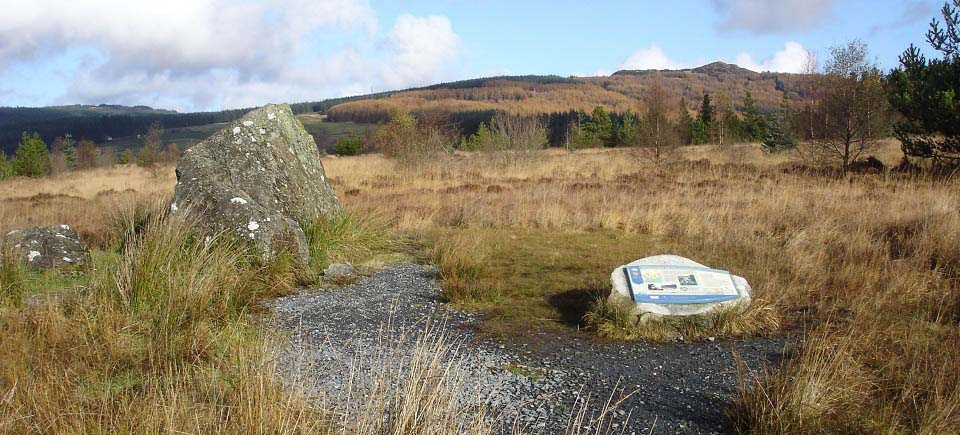
The image below is from the trail round
to Bruce's Stone, about half of a mile east
of the visitor centre via a woodland walk
and path, in an area named Moss Raploch.
The plaque gives information on a battle
here in 1307, when Robert the Bruce was
fighting to become king of an independent
Scotland.
There is another Bruce's stone at
Loch
Trool 10 miles west, that marks the
site of another battle in the same
year.
|
|
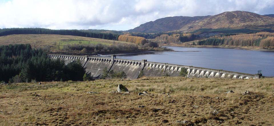
The image below is of Clatteringshaws
Dam, built between 1929 and 1935. This is
the largest dam I have seen so far in
southern Scotland. Had to hike up through a
rough field to get a photo of it all.
There is a forest road that leads its
way round the far side of the dam, as seen
below, then round behind the hills in the
image to Loch Trool. That road is used by
many mountain bikers, about 10 miles
between here and Loch Trool. The highest
hill below is Millfore at 2,152 ft.
Large Image
.
|
|
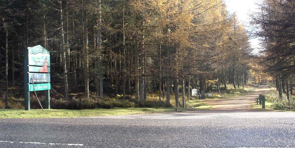
The image below is of the Raiders Road
forest drive that runs from a few hundred
yards southwest of the dam, down the A712.
This road can be driven, walked or biked.
It leads southeast to the area of Bennan on
the west side of Loch Ken. About 3 miles
down this road is the scenic Otter Pool
Large Images.
|
|
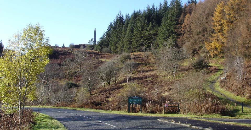
The image below is of Murray's Monument
by the A712, 5 miles southwest of
Clatteringshaws Dam. There is a car park
here for the trail to the monument, the
Grey Mares Tail waterfalls, the hike up the
rocky Craigdews Hill, the hike over to the
Black Loch, and past the Black Loch to the
2,152 ft Millfore hill.
Murray’s Monument was erected in
1835 in memory of Alexander Murray, a local
shepherd boy who later became Professor of
Oriental Languages at Edinburgh University.
The monument is on a 597 ft hill, a steeper
hike than it looks. There is a trail that
leads off into the forest close to the top,
that trail leads north to the forest road
to the Black Loch and Millfore.
Large
Image
Black Loch and
Millfore Hike Images.
|
|
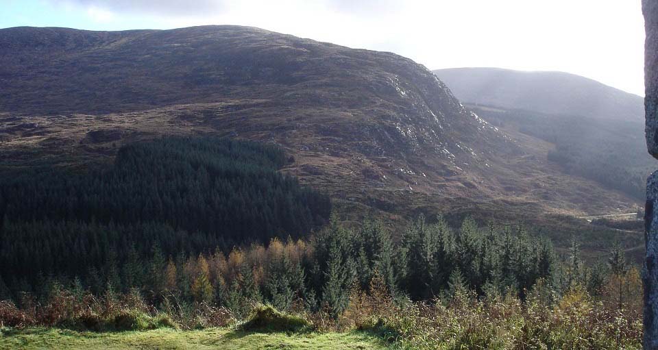
The image below is from Murray's
Monument looking south to the 1,975 ft
Craignelder and 2,332 ft Cairnsmore of
Fleet behind. There is a forest road that
leads off the A712 a few hundred yards
southwest of the monument, over to the foot
of Craignelder, as seen below. There is a
small car park across the road from the
start of that forest road.
Graignelder Photo Tour
From that car park, you can also follow
a trail through the woods, north to the Old
Edinburgh Road. That old road leads to the
Black Loch, and up onto Millfore.
|
|
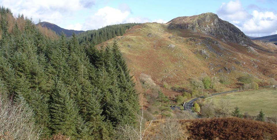
The image below is of the 882 ft
Craigdews from Murray's Monument. You can
see the monument car park down there. The
rocky Craigdews is an interesting hike with
a trail leading up from the bridge at the
car park. Follow the high fence up into the
trees, then go through the trees for about
30 ft, then hop over the lower fence.
Beware the cliffs at the summit.
Large Image
. Image
looking down from Craigdews summit.
|
|
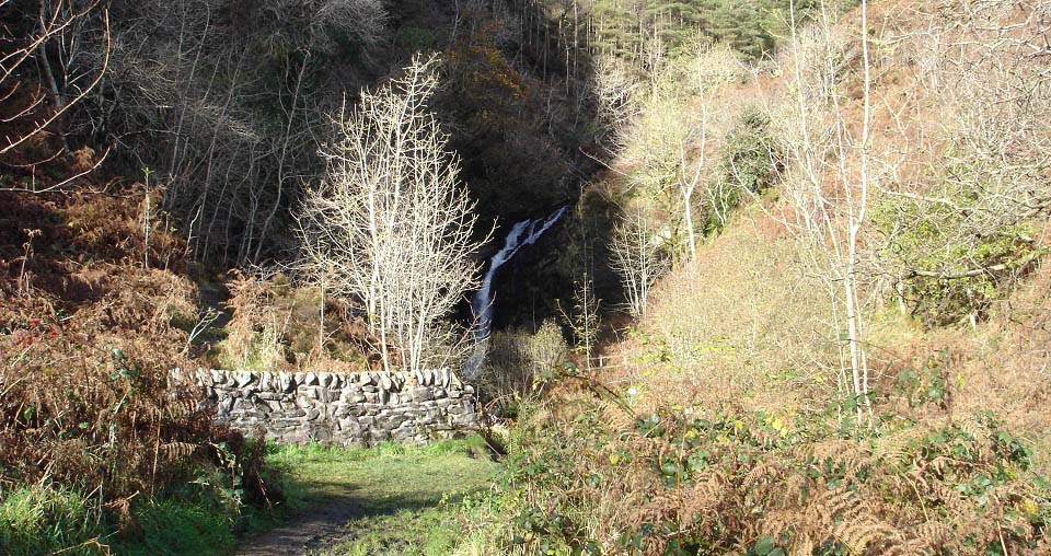
Next to the Murray's Monument car park
are the Grey Mares Tail waterfalls, as seen
below.
|
|
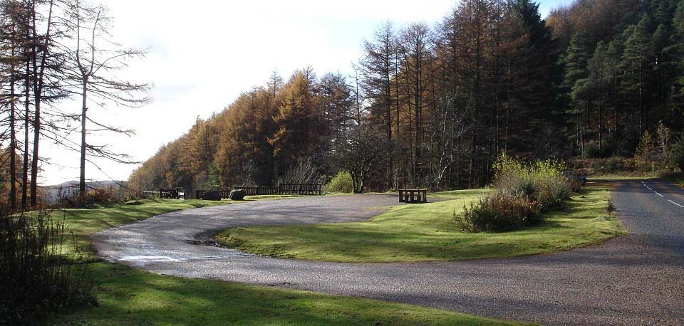
The image below is of the Glen of the
Bar view point 1 mile southwest of Murray's
Monument on the A712.
|
|
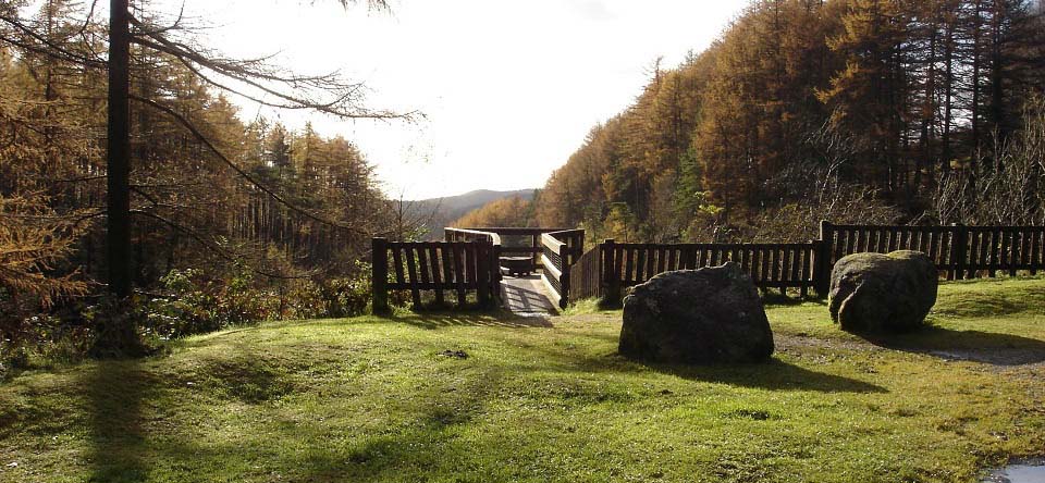
The image below is of the Glen of the
Bar viewing platform, a few hundred feet
above the glen. There is something
un-nerving about walking out over a steep
drop, but the views are worth it.
|
|
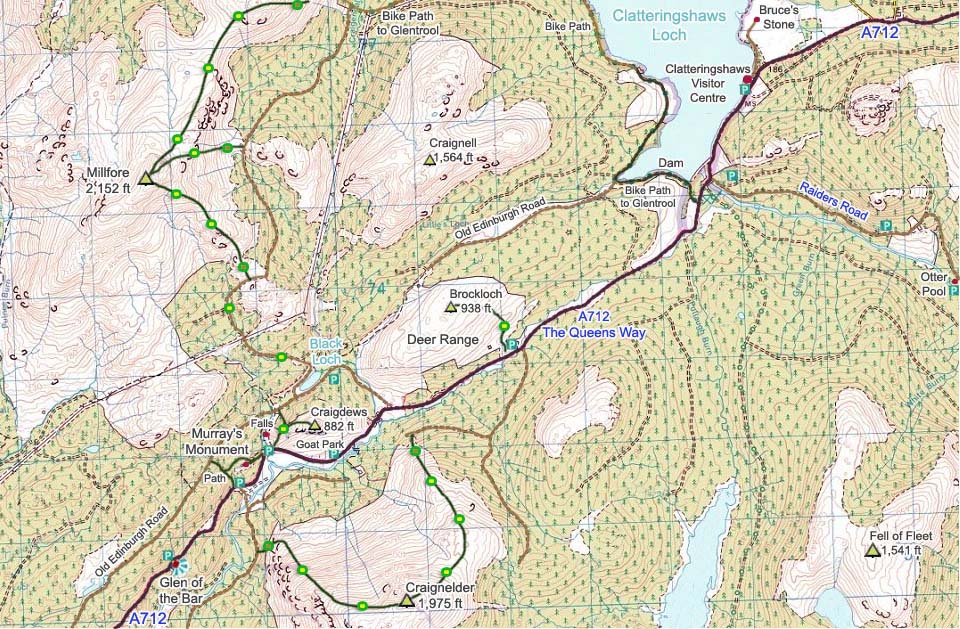
The Map below shows the attractions
along the A712 that is also known as The
Queens Way. The map also shows the hiking
routes onto the hills. Green and brown dots
are rough sections, green and yellow fairly
good trails.
Google Road
Map . Change Newton Stewart to your
town or postcode to get driving
directions.
Hill Walking
Guide Map
|
|
The Glentrool and Kirroughtree Visitor Centres for
biking and hiking are connected by biking
trails, although you may need an OS Map to
find your way between the centres.
|
|
|


