|
Glentrool is a remote area in the Galloway
Forest Park, southwest Scotland, 34 miles
southeast of Ayr, 9 miles north of Newton
Stewart in the county of Dumfries &
Galloway. The park has a number of biking,
walking and hiking routes, also a number of
picnic and rock climbing areas.
Three of the top hiking routes in southern
Scotland can be found here, The Merrick range
up to 2,766 ft, highest in southern Scotland,
the Lamachan range on the south side of Loch
Trool, and the rocky Dungeon range.
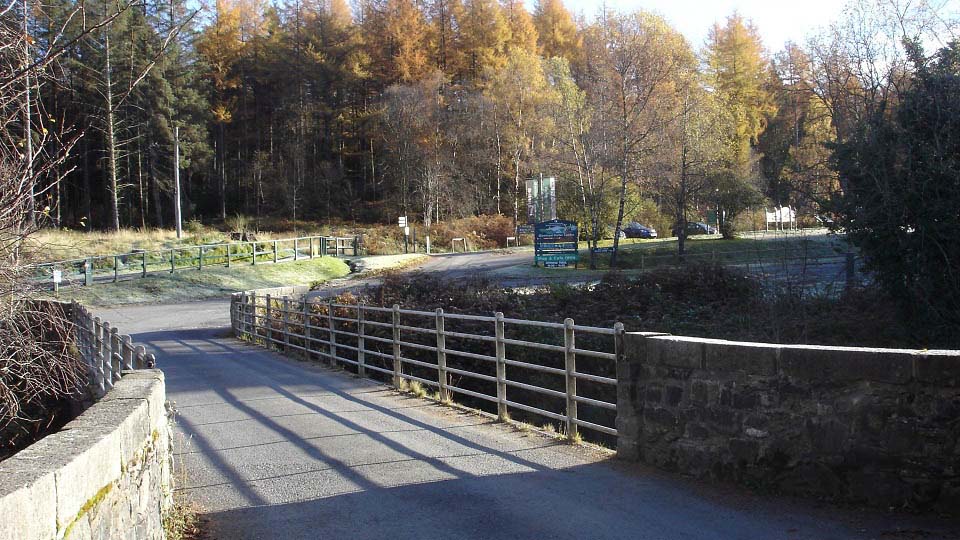
The image below is of the entrance to the
Glentrool Visitor Centre car park. This area
is situated about one mile from Glentrool
village on the Newton Stewart Road. Glentrool
village is only a few houses with no
shops.
The car park area here gives information
on the skies, as this area is so remote, it
is classed as a dark skies area, ideal for
viewing the stars. 23 Large
Images.
|
|
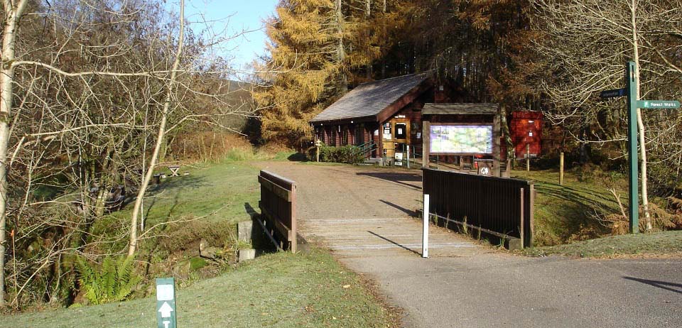
The image below shows the Glentrool
Visitor Centre that has a cozy tea room, and
many leaflets for the area. The park is open
all year.
Visitor Centre
Website
|
|
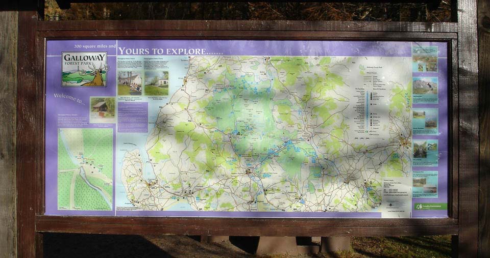
The image below is of the plaque at the
Visitor Centre. The plaque gives information
of trails, monuments and visitor attractions
in the area.
The link here gives information on the
biking trails throughout the park, scotland.forestry.gov.uk
mountain-biking/7stanes
|
|
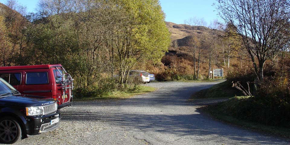
The image below shows the car park at
Bruce's Stone monument. This car park is
three miles east of Glentrool Visitor Centre
via a good single lane road with many passing
places.
The monument is just down the path right
in this image. The sign straight ahead is at
the start of the Merrick Trail. The Merrick
is the highest mountain in southern Scotland,
so this car park is normally busy. There is a
larger car park 300 yards back down the
road.
|
|
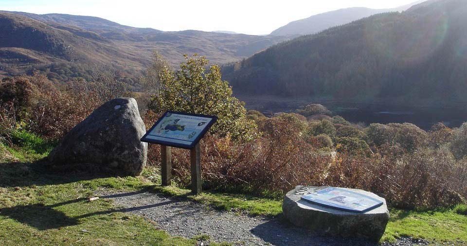
The image below is from the short trail
round to Bruce's Stone. The plaques here give
information on the wildlife in the area, and
information on the Battle of Glen Trool.
More
Information.
|
|
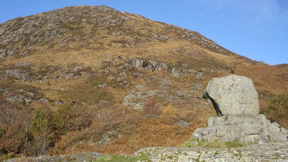
The image below is of the Bruce's Stone
monument with Eschonchan Hill behind. The
Merrick Trail passes the side of Eschonchan,
or you can go over this little hill for good
views down over the loch.
|
|
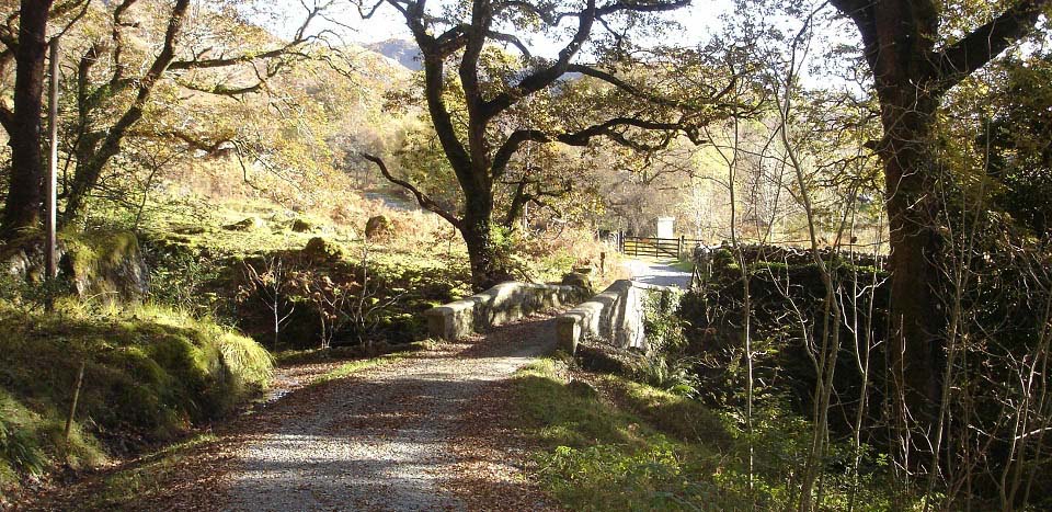
The image below is of the Buchan Bridge,
about 300 yards east of Bruce's Stone. If you
cross the bridge, and follow a narrow trail
up the side of the burn, you will see the
Buchan Waterfalls.
|
|
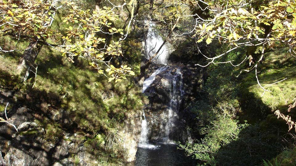
The image below is of the Buchan
Waterfalls. The waterfalls cascade down for a
few hundred feet, well worth a visit.
Large
Image
|
|
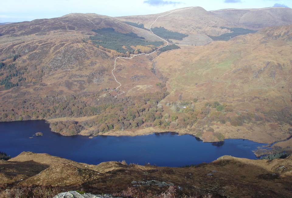
The image below is from the northwest
ridge of the 1,840 ft Mulldonoch, looking
over to Bruce's Stone and car park.
Mulldonoch is the start of the Lamachan
range hike over five rocky hills on the south
side of Loch Trool, up to 2,352 ft.
This image shows the Merrick Trail from
Bruce's Stone car park. That trail goes over
the 2,358ft Benyallary, then on to the
Merrick at 2,766ft.
|
|
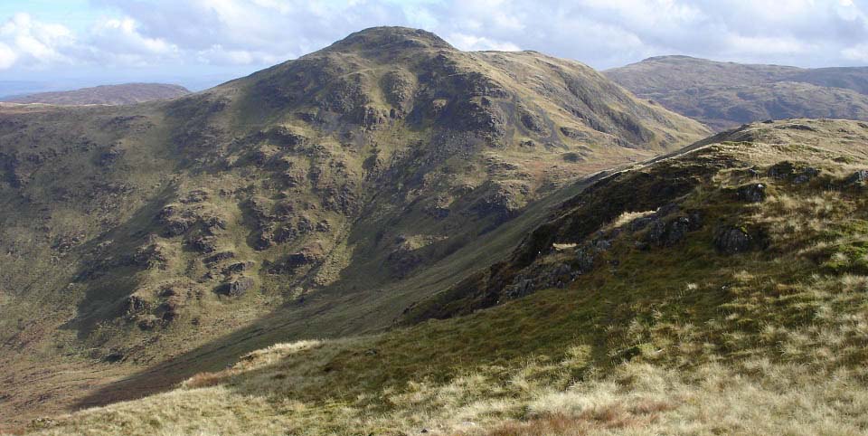
The image below is of the 2,211ft
Curleywee on the Lmachan range, on the south
side of Loch Trool. This is the most
interesting of the five peaks on this range,
with an eventful ridge leading across to
it.
Photo Tour of
that Hike
|
|
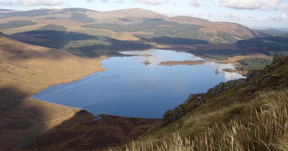
The image below is of Loch Dee, about
three miles east of Bruce's Stone. You see
this loch when descending the Lamachan
Range.
|
|
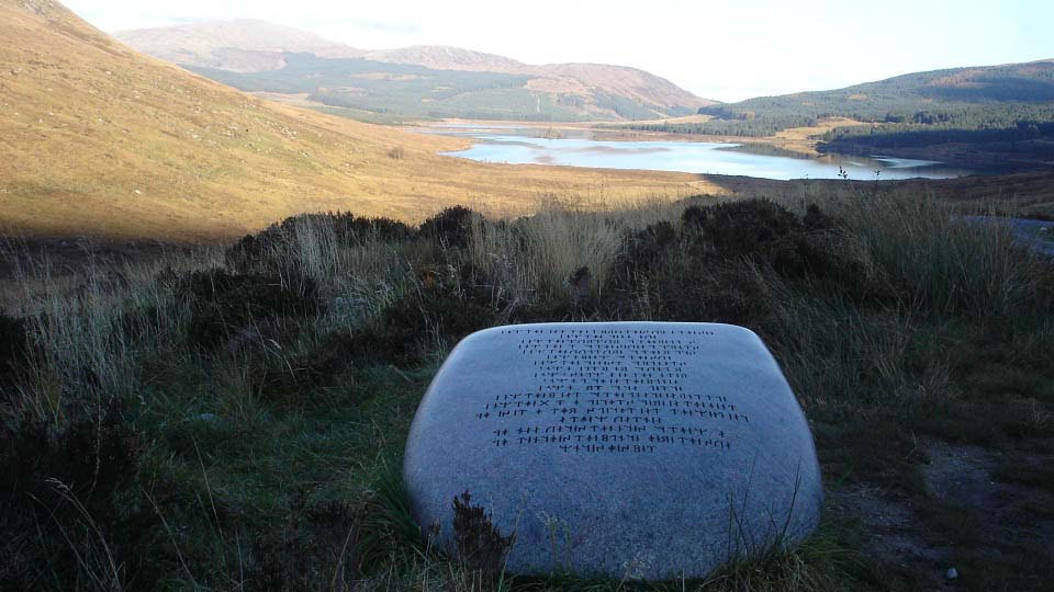
The image below is a large inscribed stone
next to the forest road to Loch Dee, as seen
in the photo below. This is the Glentrool
Stane, on one of the Glentrool biking routes.
There are Seven Stanes, one on each of the
Seven Stanes
Mountain Bike Trails around Southern
Scotland. This stone is about 2 or 3 miles
out east from Bruce's Stone car park.
|
|
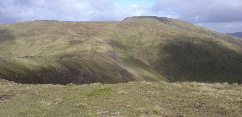
The image below is from the 2,358ft
Benyallary looking along the final part of
the Merrick Trail to the 2,766ft Merrick
summit.
This is a popular hike with an easy to
follow trail. Just be careful if it is a
cloudy day, as the Merrick is normally the
first mountain in the area to be covered in
cloud. Take note of the trail up, so you can
follow it back down if it clouds over.
Photo Tour of
this Route
|
|
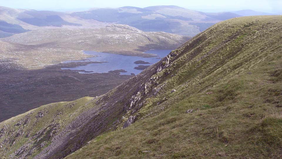
The image below is of from the east side
of the Merrick looking over Loch Enoch to the
rocky Dungeon Hill. Dungeon Hill has about
1,000ft cliffs on its east side that attract
rock climbers. Rock Climbing
Link.
The Dungeon Range is only up to 2,270ft,
but is probably the toughest range to hike,
as it is rocky with hard to follow trails,
and has a number of cliffs all along the east
side.
|
|
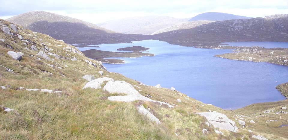
The image below is of Loch Enoch from the
east side of the Merrick. There are a number
of lochs in this area with white sandy
beaches, as picturesque as any place in
Scotland.
|
|
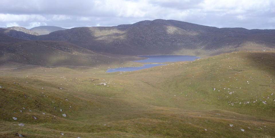
The image below is from the Buchan Hill
range leading from the Merrick east side back
to Bruce's Stone. The loch here is Loch
Neldricken with the rocky 2,116ft Craignaw
behind. That range leads down to the Stane by
Loch Dee.
|
|
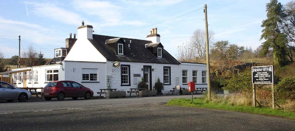
The image below is of the House o Hill hotel
one mile south of Glentrool village.
Glentrool village is only about 50 houses
with no shops. The hotel here is the only
place for a drink and meal in the area. The
town of Newton Stewart is 9 miles
south.
|
|
|